
Apple Maps transit directions — Which cities have them?
- jan
- 30
Transit directions have come to Apple Maps, but have they come to you?
Update May 15, 2017: Transit directions are now available for Adelaide, Australia.
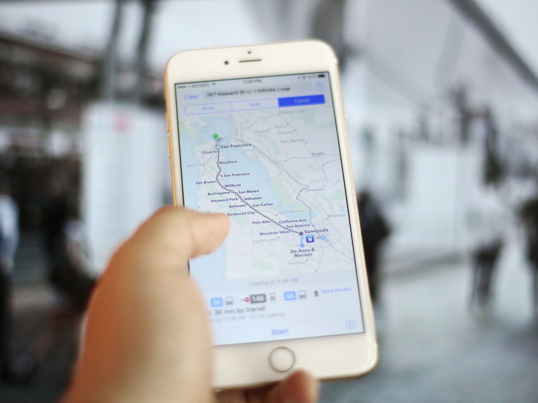
Apple has re-integrated transit directions into maps — after losing them a few years back when the company parted ways with Google — and that means you can now find trains, buses, ferries, and more, all on your iPhone, iPad, Apple Watch, and Mac. But only in the following cities.
- Adelaide, Australia
- Atlanta, GA
- Austin, TX
- Baltimore, MD
- Berlin, Germany
- Boston, MA
- Chicago, IL
- China
- Cincinnati, OH
- Cleveland, OH
- Columbus, OH
- Dallas, TX
- Denver, CO
- Detroit, MI
- Great Britain
- Honolulu, HI
- Houston, TX
- Japan
- Kansas City, MO
- Los Angeles, CA
- Melbourne, Australia
- Mexico City, Mexico
- Miami, FL
- Minneapolis, MN
- Montréal, Canada
- New Orleans, LA
- New York City, NY
- Philadelphia, PA
- Pittsburgh, PA
- Portland, OR
- Prague, Czech Republic
- Rio de Janeiro, Brazil
- Sacramento, CA
- Salt Lake City, UT
- San Antonio, TX
- San Diego, CA
- San Francisco, CA
- São Paulo, Brazil
- Seattle, WA
- Sydney, Australia
- Toronto, Canada
- Vancouver, Canada
- Victoria, Canada
- Washington, D.C.
- Windsor, Canada
Are Apple maps transit directions available where you live? If so, how do they work for you? If not, what are you using instead?