
What’s new in the Maps app?
- jun
- 29
Curious what's new with Apple Maps? Stay up-to-date on the latest news here!
Lost your way? Don't worry — Apple has a Maps app built right in, so you'll never get off-track again. However, the world is ever-changing, and as a result, so is Apple Maps. Because the app is often getting bigger and better, we've created a one-stop shop for the latest and greatest Maps news. Bookmark and check back regularly for updates!
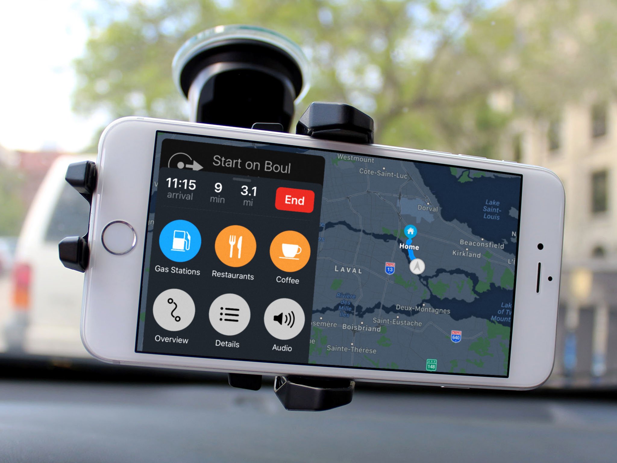
If you want to learn how to use Apple Maps to its fullest potential, check out our Ultimate Guide to the Maps app.
What's new with Apple Maps?
Check back here for the latest updates in Maps news.
June 29, 2018: Apple is rebuilding maps from the ground up using first-party data
Many people ... er ... struggle with Apple Maps. Sure, it's been improved a lot over the years, but it's not a perfect solution, and users have experienced many issues since its genesis. Thankfully, Apple has heard our cries, and is completely redesigning its Maps app for the upcoming iOS 12, with limited first-party maps data coming in the next beta. According to an amazing, in-depth piece by Matthew Panzarino over at TechCrunch, here's what we can expect from the update:

Maps will be based solely on first-party data
Yup: Apple is finally going to be building all maps using the company's own data.
Okay, okay. I say finally, but really, Apple has been collecting first-party data for its maps for the past four or so years. Back in 2015, Apple began collecting map data from a combo of sources at its disposal: dedicated Apple Maps vans outfitted with GPS rigs, LiDAR arrays, cameras that shoot overlapping high-resolution images, Macs, iPads, and physical measuring tools; high-resolution imagery captured using satellites; "probe data" from iOS devices; and hundreds of human editors.
Eddie Cue, Apple's Senior Vice President, shared the company's reasoning for switching to first-party data instead of relying on third-party data in the aforementioned conversation with TechCrunch:
Since we introduced this six years ago — we won't rehash all the issues we've had when we introduced it — we've done a huge investment in getting the map up to par. When we launched, a lot of it was all about directions and getting to a certain place. Finding the place and getting directions to that place. We've done a huge investment of making millions of changes, adding millions of locations, updating the map and changing the map more frequently. All of those things over the past six years. [But] we wanted to take this to the next level ...That is building all of our own map data from the ground up.
Maps will be more responsive to changes
Because Apple will no longer be relying on third-party data (and, thus, no longer jumping through all the hoops that were once necessary to update Maps), the app will be more accurate when it comes to corrections, roadwork, new routes, and construction changes. Cue again weighed in on this matter to Panzarino:
The truth is that Maps needs to be [updated more], and even are today. We'll be doing this even more with our new maps, [with] the ability to change the map real-time and often. We do that every day today. This is expanding us to allow us to do it across everything in the map. Today, there's certain things that take longer to change. For example, a road network is something that takes a much longer time to change currently. In the new map infrastructure, we can change that relatively quickly. If a new road opens up, immediately we can see that and make that change very, very quickly around it. It's much, much more rapid to do changes in the new map environment.
Graphics will be more visually detailed
In the revamped Maps, depending on the context of your trip, the app will now show more detailed graphics, including things like foliage, swimming pools, sporting areas, and sidewalks.
The redesigned UI will make maps easier to read
As Panzarino mentions, Apple has always had a knack for marrying the utilitarian with the artistic. Thanks to a team of cartographers (yes, cartographers), the new version of Maps will be even more beautiful and useful than ever before, helping your brain more intuitively make sense of what's going on geographically.
The maps need to be usable, but they also need to fulfill cognitive goals on cultural levels that go beyond what any given user might know they need. For instance, in the US, it is very common to have maps that have a relatively low level of detail even at a medium zoom. In Japan, however, the maps are absolutely packed with details at the same zoom, because that increased information density is what is expected by users.
This is the department of details. They've reconstructed replicas of hundreds of actual road signs to make sure that the shield on your navigation screen matches the one you're seeing on the highway road sign. When it comes to public transport, Apple licensed all of the type faces that you see on your favorite subway systems, like Helvetica for NYC. And the line numbers are in the exact same order that you're going to see them on the platform signs.
It's all about reducing the cognitive load that it takes to translate the physical world you have to navigate through into the digital world represented by Maps.
Sounds pretty cool if you ask me*.
*Someone who struggles desperately to make sense of any sort of map at all.
Apple will still focus strongly on user privacy
If the phrase "probe data" frightened you, worry not: Apple is still adamant as ever about protecting user privacy. Probe data is, according to Panzarino, "essentially little slices of vector data that represent direction and speed transmitted back to Apple completely anonymized with no way to tie it to a specific user or even any given trip. It's reaching in and sipping a tiny amount of data from millions of users instead, giving it a holistic, real-time picture without compromising user privacy." So Apple isn't tracking every step of your trips from beginning to end. Instead, the company is only collecting teeny tiny slivers of location data from tons of different trips completely anonymously in order to form a cohesive picture.
The new Maps will be rolling out to the US first, launching in San Francisco and the Bay Area of California with the next iOS 12 beta next week. It will cover Northern California by this fall, and will eventually be rolled out to every version of iOS over the course of about a year. For a more in-depth preview of upgraded Maps, check out Panzarino's full piece here.
Questions?
We'll have a lot more information and how-tos about Maps in the days to come, but let me know if you have any questions about these features; I'm happy to answer.
Maps for iPhone and iPad
- What's new in the Maps app
- How to find locations and get directions with Maps
- How to share location and directions with Maps
- How to delete your search history and prior destinations in Maps
- How to use Siri with Maps
- How to enable and use Maps extensions
- Best Maps app extensions
- How to change settings for Maps
- How to report a problem in Maps
- How to use Maps with CarPlay